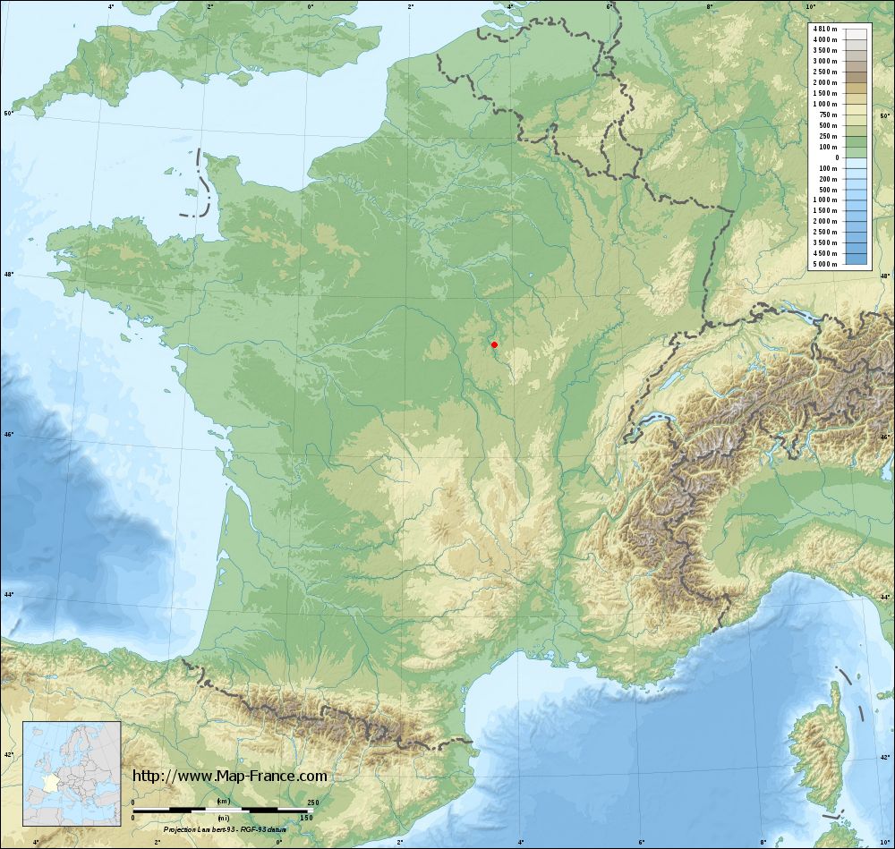
La Maison-Dieu on the relief France map in Lambert 93 coordinates
|

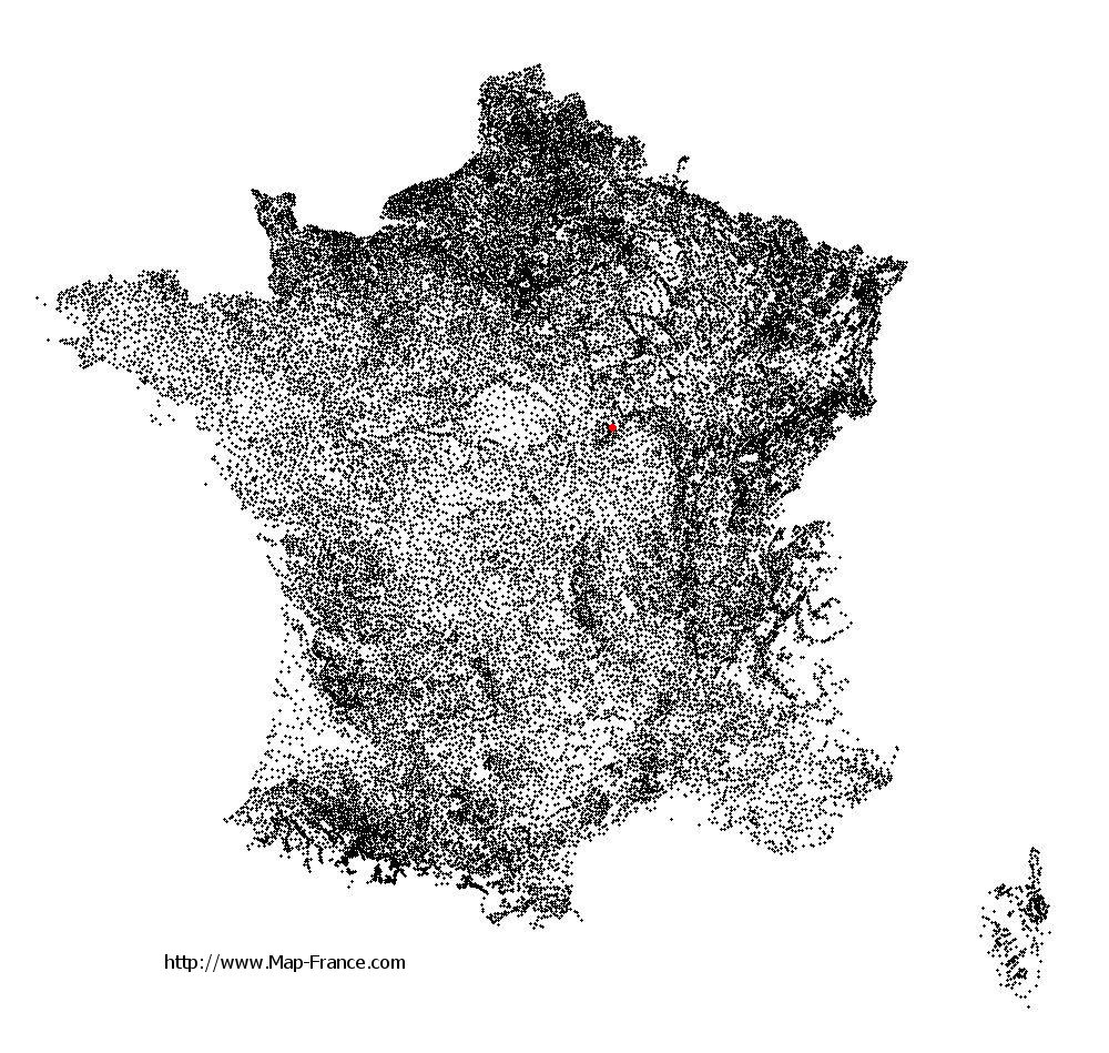
See the map of La Maison-Dieu in full screen (1000 x 949)
|
At left, here is the location of La Maison-Dieu on the relief France map in Lambert 93 coordinates.
Here are the altitudes of La Maison-Dieu :
- Town hall altitude of La Maison-Dieu is 210 meters
- Minimum altitude of La Maison-Dieu is 186 meters
- Maximum altitude of La Maison-Dieu is 331 meters
- Medium altitude of La Maison-Dieu is 259 meters
Here are the altitudes of Nevers, prefecture of Nièvre department:
- Town hall altitude of Nevers is 201 meters
- Minimum altitude of Nevers is 167 meters
- Maximum altitude of Nevers is 238 meters
- Medium altitude of Nevers is 203 meters
Here are the altitudes of the french biggest cities:
Paris : 33 meters
Marseille : 20 meters
Lyon : 237 meters
Toulouse : 146 meters
Nice : 10 meters
Nantes : 20 meters
Strasbourg : 144 meters
Montpellier : 35 meters
Bordeaux : 16 meters
Lille : 20 meters
Rennes : 35 meters
Reims : 83 meters
Click here for the terrain map of La Maison-Dieu in full screen:
Relief map of La Maison-Dieu
|
This relief map of La Maison-Dieu is reusable and modifiable by making a link to this page of the Map-France.com website or by using the given code :
|
Terrain base map of La Maison-Dieu
|
See the terrain base map of La Maison-Dieu in full screen (1000 x 949)
|
Small relief base map of La Maison-Dieu

|
This base map of La Maison-Dieu is reusable and modifiable by making a link to this page of the Map-France.com website or by using the given code :
|
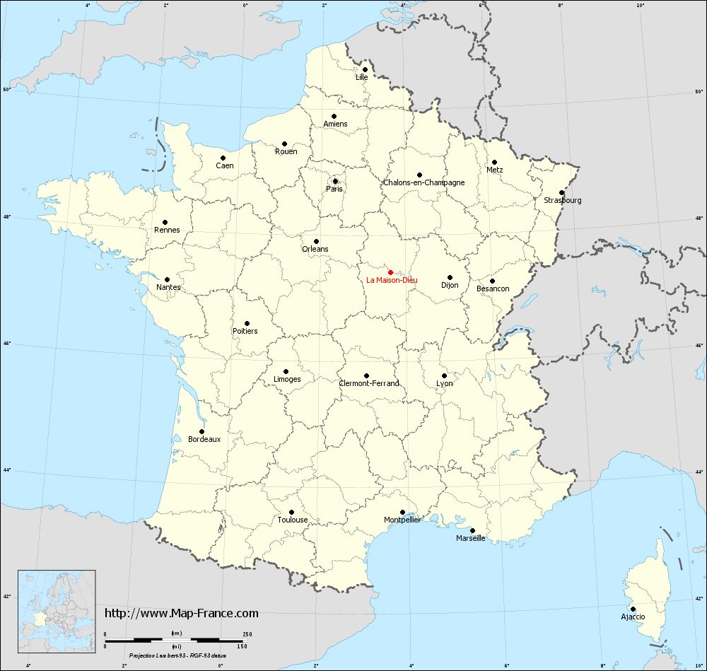
Map of La Maison-Dieu with regions and prefectures
|
View the map of La Maison-Dieu in full screen (1000 x 949)
|
You will find the location of La Maison-Dieu on the map of France of regions in Lambert 93 coordinates. The town of La Maison-Dieu is located in the department of Nièvre of the french region Bourgogne.
Geographical sexagesimal coordinates / GPS (WGS84):
Latitude: 47° 24' 48'' North
Longitude: 03° 38' 49'' East
Geographical decimal coordinates :
Latitude: 47.414 degrees (47.414° North)
Longitude: 3.647 degrees (3.647° East)
Lambert 93 coordinates :
X: 7 488 hectometers
Y: 67 017 hectometers
Lambert 2 coordinates :
X: 6 989 hectometers
Y: 22 690 hectometers
Below, the geographical coordinates of Nevers, prefecture of the Nièvre department:
Geographical sexagesimal coordinates / GPS (WGS84):
Latitude: 46° 59' 33'' North
Longitude: 03° 09' 24'' East
Geographical decimal coordinates :
Latitude: 46.994 degrees (46.994° North)
Longitude: 3.156 degrees (3.156° East)
Lambert 93 coordinates :
X: 7 119 hectometers
Y: 66 547 hectometers
Lambert 2 coordinates :
X: 6 624 hectometers
Y: 22 217 hectometers
|
This map of La Maison-Dieu is reusable and modifiable by making a link to this page of the Map-France.com website or by using the given code :
|
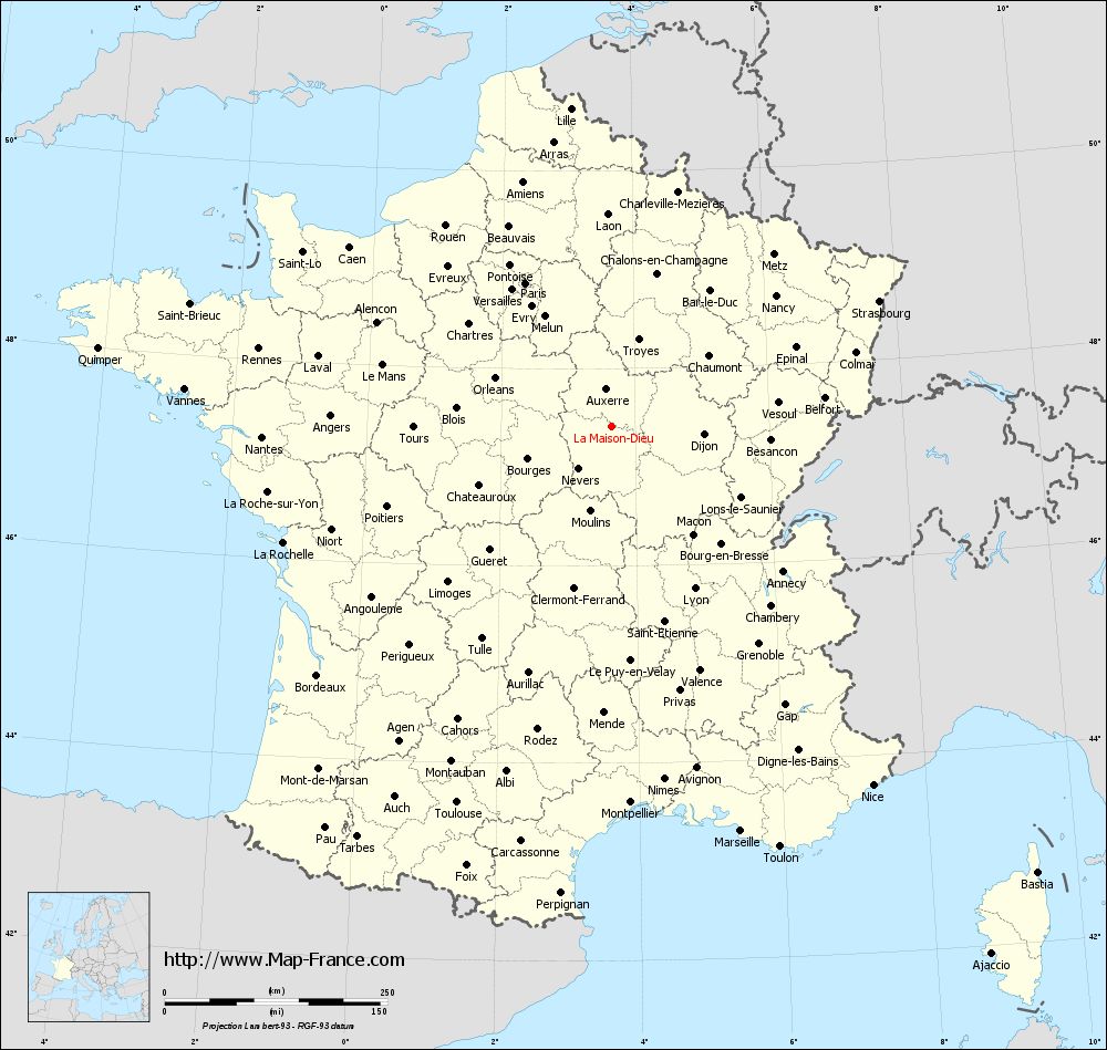
Map of La Maison-Dieu with departments and prefectures
|
Voir la carte of La Maison-Dieu en grand format (1000 x 949)
|
Here is the localization of La Maison-Dieu on the France map of departments in Lambert 93 coordinates. The city of La Maison-Dieu is shown on the map by a red point.
The town of La Maison-Dieu is located in the department of Nièvre of the french region Bourgogne.
The latitude of La Maison-Dieu is 47.414 degrees North.
The longitude of La Maison-Dieu is 3.647 degrees East.
Here the distance between La Maison-Dieu and the biggest cities of France:
Distances are calculated as the crow flies (orthodromic distance)
Distance between La Maison-Dieu and Paris : 187.52 kilometers
Distance between La Maison-Dieu and Marseille : 477.32 kilometers
Distance between La Maison-Dieu and Lyon : 204.9 kilometers
Distance between La Maison-Dieu and Toulouse : 456.9 kilometers
Distance between La Maison-Dieu and Nice : 498.64 kilometers
Distance between La Maison-Dieu and Nantes : 392.29 kilometers
Distance between La Maison-Dieu and Strasbourg : 331.95 kilometers
Distance between La Maison-Dieu and Montpellier : 423.1 kilometers
Distance between La Maison-Dieu and Bordeaux : 432.63 kilometers
Distance between La Maison-Dieu and Lille : 359.83 kilometers
Distance between La Maison-Dieu and Rennes : 405.22 kilometers
Distance between La Maison-Dieu and Reims : 206.88 kilometers
Clic here to see the map of La Maison-Dieu in full screen:
La Maison-Dieu on the map of french departments
|
This administrative map of La Maison-Dieu is reusable and modifiable by making a link to this page of the Map-France.com website or by using the given code :
|
Administrative base maps of La Maison-Dieu
|

See the administrative base map of La Maison-Dieu in full screen (1000 x 949)
|
Small administrative base map of La Maison-Dieu
|
This base map administrative of La Maison-Dieu is reusable and modifiable by making a link to this page of the Map-France.com website or by using the given code :
|
 French Version : http://www.cartesfrance.fr